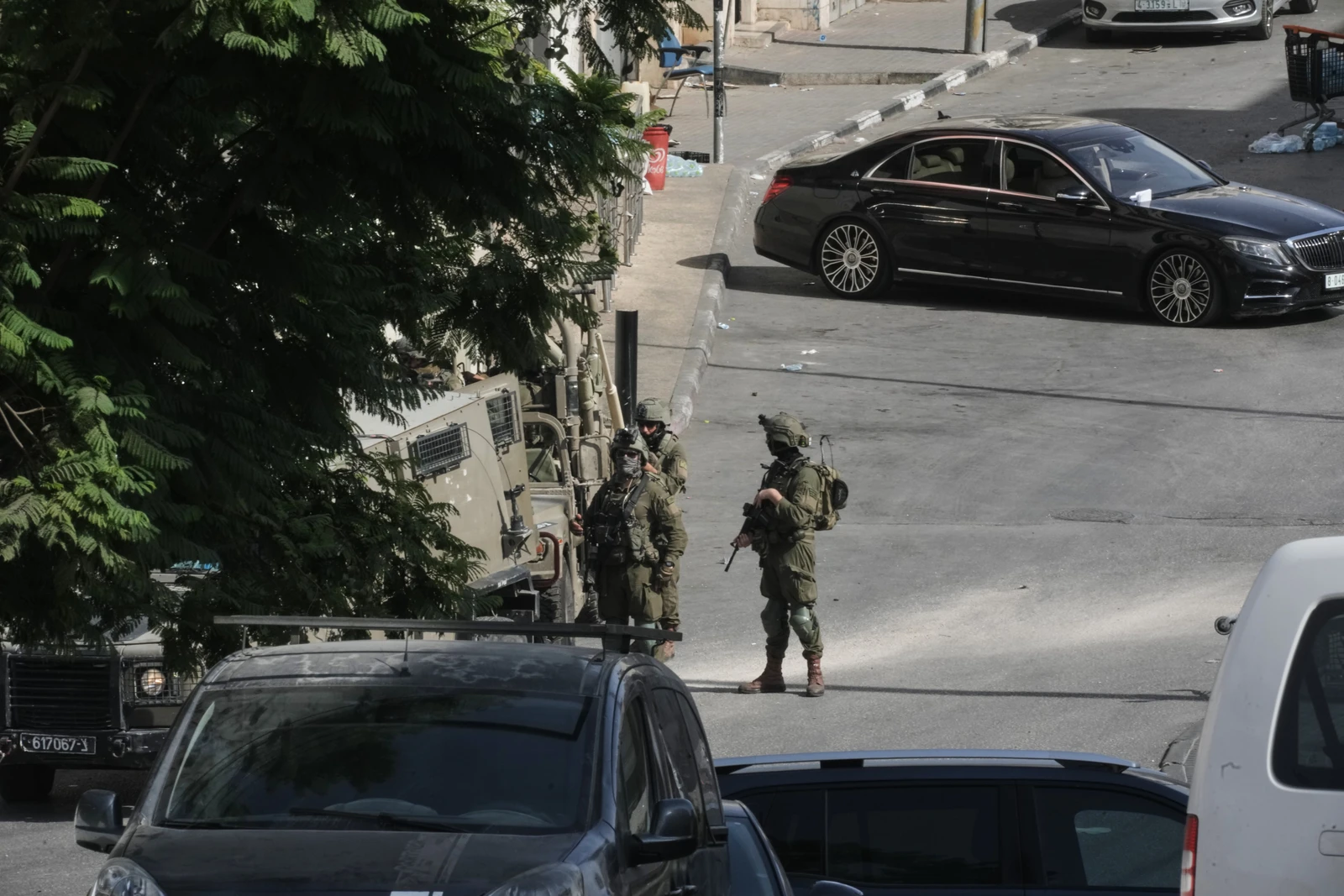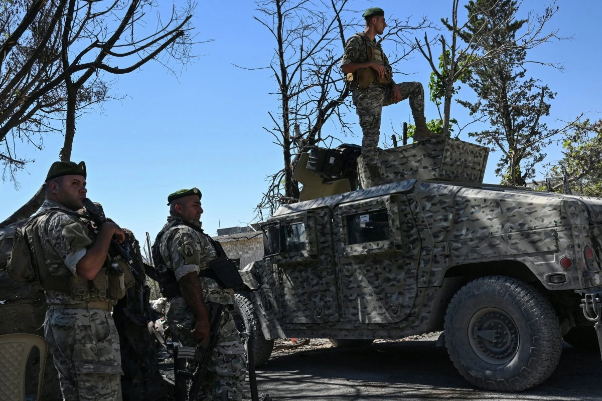
- Israeli troops and military vehicles are stationed in some areas
- Israeli control varies from troops stationed to mobile incursions and firepower dominance over much wider areas
Israel’s expanding operations in southern Lebanon are raising questions about how much territory its forces actually occupy, and how much they control through surveillance, firepower and the ability to launch attacks from forward positions.
Israeli Defense Minister Israel Katz has repeatedly cited an area of roughly 700 square kilometers. But developments on the ground paint a more complex picture: Israeli control varies from troops stationed at fixed positions to mobile incursions and firepower dominance over much wider areas.
Military assessments suggest the area is far from a uniform security belt stretching from the Mediterranean coast to Mount Hermon. Its depth varies sharply across sectors, shaped by terrain, commanding heights and routes of movement.
Israeli troops and military vehicles are stationed in some areas. Others have no permanent Israeli military presence but remain under aerial surveillance or within striking range, allowing forces to operate there without maintaining troops on the ground.
Single Front
Defense and security expert Riad Kahwaji told Asharq Al-Awsat that Israel views Lebanon and the Golan Heights as "a single front" stretching from Mount Hermon to the Mediterranean coast at Naqoura and Bayada, despite crossing two countries.
"From its perspective, Israel is establishing a security belt along its northern border," Kahwaji said, adding that the belt is "no longer confined to areas south of the Litani River but has extended north of it in some locations."
Geography helps explain why.
"The geographical scope has effectively expanded beyond the area south of the Litani, particularly from the direction of Metula, where the river is only about seven kilometers away, compared with roughly 30 kilometers between Naqoura and the Litani," he said.
That difference, Kahwaji explained, means the security belt can extend north of the Litani in some areas without maintaining the same depth across the entire border.
The river, therefore, is not a uniform dividing line between northern and southern operational zones. Distances vary, and geography dictates how far Israeli troops or firepower can reach.
Firepower
Kahwaji drew a distinction between occupying territory and controlling it through surveillance and firepower.
He said Israel relies on about 20 military positions, each capable of accommodating a small force, while drones continuously monitor movements deeper inside the area.
"Each position could accommodate a company-sized force, while drones operate continuously farther behind these positions to monitor movements," he said.
"When drones detect movement, it is targeted by artillery or an airstrike. Alternatively, a patrol can be dispatched from one of these positions toward the location where the movement was detected within what is known as the yellow belt."
That, he said, is what control through firepower means.
"It does not require an extensive military presence throughout the entire belt. Instead, it relies on specific military positions, continuous surveillance through drones and firepower, and the ability to target any movement or dispatch a patrol."
The result is a military footprint that extends well beyond the positions troops physically occupy.
From elevated or fortified positions, forces can monitor surrounding roads and towns, strike targets or send patrols without establishing permanent bases in every location.
From the Coast to Beaufort Castle
The pattern is visible across southern Lebanon.
In the west, Israeli operations extend from Naqoura and the coastal sector into areas that have recently faced incursions, demolitions and repeated shelling, including Mansouri and its surroundings.
Farther east, central-sector towns such as Beit Yahoun, Hadatha, Haris and Aita al-Jabal have experienced varying degrees of Israeli military activity or attacks, though the level of troop presence differs.
The reach of operations extends farther inland toward Beaufort Castle and the Ali al-Taher heights.
There, elevated terrain offers commanding views over wider areas toward Nabatieh, Iqlim al-Tuffah and surrounding movement routes.
The result is a zone of control shaped less by a continuous border strip than by strategic elevations and the areas they overlook.
Could Israeli Operations Reach the Awali River?
Retired Brigadier General Fadi Daoud offered a broader assessment of where Israeli operations could extend, arguing that control of high ground may determine the limits of any advance.
"What is clear in southern Lebanon is that the expansion could reach the Awali River. Even if it does not, forces will remain positioned on the heights overlooking the river," Daoud told Asharq Al-Awsat.
He said such a deployment could also encompass Rihan and areas around Jezzine, particularly Kfarhouna.
"The western boundary will be the Awali River," he said, identifying geographical control, especially over commanding heights, as the key factor shaping military movements.
Holding elevated positions, he argued, would allow Israeli forces to dominate lower-lying areas with firepower without maintaining troops throughout them.
"Geographical control will enable Israel to control the western Bekaa from the right flank because it is already present on Mount Hermon. The western Bekaa has effectively become a pocket between Mount Hermon and Rihan," Daoud said.
"Israel will establish positions there to control the Bekaa."
The Strategic Heights of Rihan and Iqlim al-Tuffah
Daoud said the potential advance could stretch from Mount Rihan toward the heights of Iqlim al-Tuffah, including Mount Safi.
"It will move from Mount Rihan to the heights of Iqlim al-Tuffah, including Mount Safi, where it will establish control over Hezbollah's stronghold in Iqlim al-Tuffah, as well as Sidon, eastern Sidon and the Awali River," he said.
For Daoud, terrain is the determining factor.
"Geography is fixed, and Israel will follow it," he said, stressing that forces positioned on high ground can control areas below through firepower without deploying throughout them.
He argued that Israeli control of Mount Hermon would leave the western Bekaa militarily exposed as far as Qaraoun.
"Its control of Mount Hermon makes the western Bekaa militarily vulnerable as far as Qaraoun," he said.
Mount Hermon, he explained, overlooks two major areas: the western Bekaa to the west and Daraa in Syria to the east.
Both, he said, "will form pockets" on either side of the mountain.
The two military assessments point to a central distinction in the debate over the 700-square-kilometer area: the territory Israel can monitor, strike or enter is not necessarily territory it physically occupies.
Commanding heights, observation posts, fields of fire and the ability to deploy patrols can extend military control far beyond fixed positions, even as the scale of Israel's actual troop presence varies from one sector to another.
Israeli Drone Strike, Demolitions Hit Southern Lebanon
Meanwhile, Israeli military operations continued across southern Lebanon on Friday.
An Israeli drone struck a roundabout in Kfar Tebnit, in the Nabatieh district, with preliminary reports indicating casualties.
At the same time, Israeli troops carried out two demolitions, one on the outskirts of Kfar Tebnit and another in Mansouri in the Tyre district.
Israeli forces also set fire to wooded areas in Qantara and swept Wadi al-Hujeir with machine-gun fire.
An Israeli drone dropped a stun grenade near Kfarshouba, while low-flying drones were reported over Beirut's southern suburbs, Tyre and surrounding areas.