
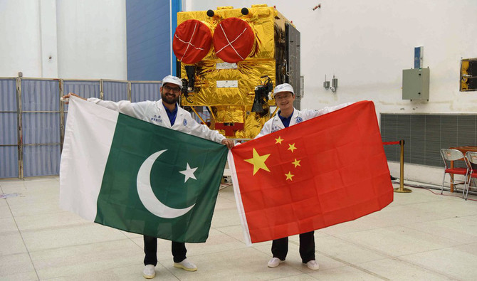
ISLAMABAD: China launched two satellites, “PakTES-1A” and “PRSS-1,” for Pakistan on Monday.
Remote Sensing Satellite-1 (PRSS-1) was launched by LM-2C/SMA launch vehicle from Jiuquan Satellite Center, China, said the Ministry of Foreign Affairs in a statement.
“The 1,200 kg satellite PRSS-1 will operate at an altitude of 640 km,” the ministry added.
“The satellite will enable Pakistan to meet its imagery requirements in the areas of land mapping, agriculture classification and assessment, urban and rural planning, environmental monitoring, natural disaster management and water resource management for socio-economic development of the country, the statement said.
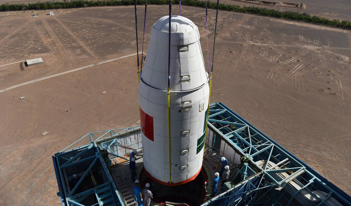
Satellites for Pakistan were launched on a Long March-2C rocket from Jiuquan Satellite Launch Center in northwest China (Photo courtesy: Press Information Department)
Pakistan Technology Evaluation Satellite-1A (PakTES-1A), indigenously designed and developed by the engineers at Space and Upper Atmosphere Research Commission (SUPARCO), has also been co-launched with PRSS-1 by the same launch vehicle, according to the statement.
“PakTES-1A is a 285 kg satellite equipped with an optical payload commensurate with national needs. It has a design life of three years and will operate at an altitude of 610 km,” said the Foreign Ministry.
Pakistan noted that “the successful implementation of PRSS-1 and PakTES-1A projects has further strengthened the space cooperation between Pakistan and China for future collaborations.”
President Mamnoon Hussain and Prime Minister Prime Minister Justice (Retd) Nasir-ul-Mulk have congratulated the nation on this historic event and appreciated SUPARCO’s efforts.
“The prime minister has assured the nation and SUPARCO of complete support for further advancement in space technology, so vital for socio-economic development and the national security of Pakistan,” the Foreign Ministry said.
Pakistan’s first indigenously developed satellite, Badr-1, was launched into low Earth orbit in July 1990 with the help of a Chinese rocket carrier, SUPARCO stated on its website. Badr-2 was launched in December 2001 to explore the upper atmosphere and near space.


